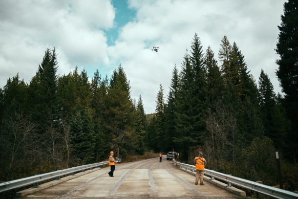
A survey is about more than just scanning: it’s also about data processing and data management. Your survey isn’t over once your aerial LiDAR scans have been completed. In fact, it’s after the aerial LiDAR scans have been completed that many surveying companies will distinguish themselves among the competition.
Aerial LiDAR involves a large amount of data, which has to be analyzed, processed, and stored. Different companies have different methods of processing and storing this information, which may make a difference regarding how fast, affordable, and easy your survey ultimately is.
この情報へのアクセスはメンバーに限定されています。ログインしてください。メンバー登録は下記リンクをクリックしてください。

