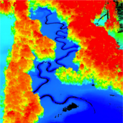
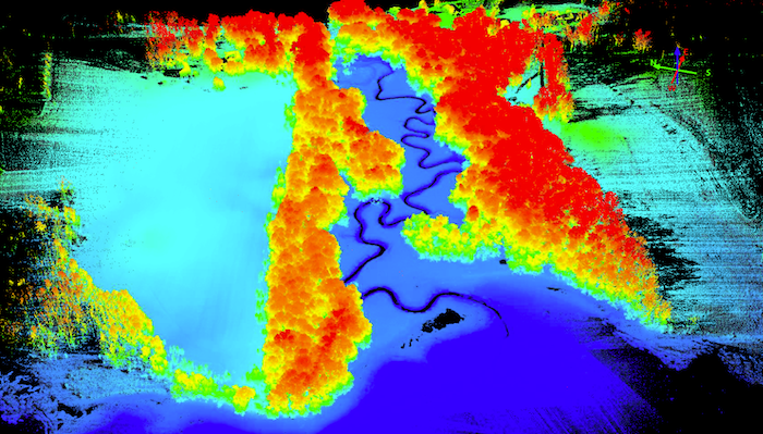
Recently, ARE partnered with Quantum Spatial, Inc. to complete a drone-based lidar scan of four locations within Great Bay, New Hampshire, to support ongoing monitoring programs at Great Bay National Estuarine Research Reserve (NERR.) The scan was done to further establish baseline conditions and assist with tracking changes in vegetated subtidal (seagrass) and intertidal (salt marsh) habitats in the Great Bay Estuary.
The seagrass beds provide important habitats for a variety of fish and other animals. Declines in the spatial extent and biomass of seagrass have caused concern in recent years. The salt marshes represent key intertidal habitats for many species and have shown signs of ecological responses to climate change in recent years. The change can be seen in the bay from receding due to the changing precipitation regimes, nutrients, water levels, and temperature. (GreatBay.org)
この情報へのアクセスはメンバーに限定されています。ログインしてください。メンバー登録は下記リンクをクリックしてください。