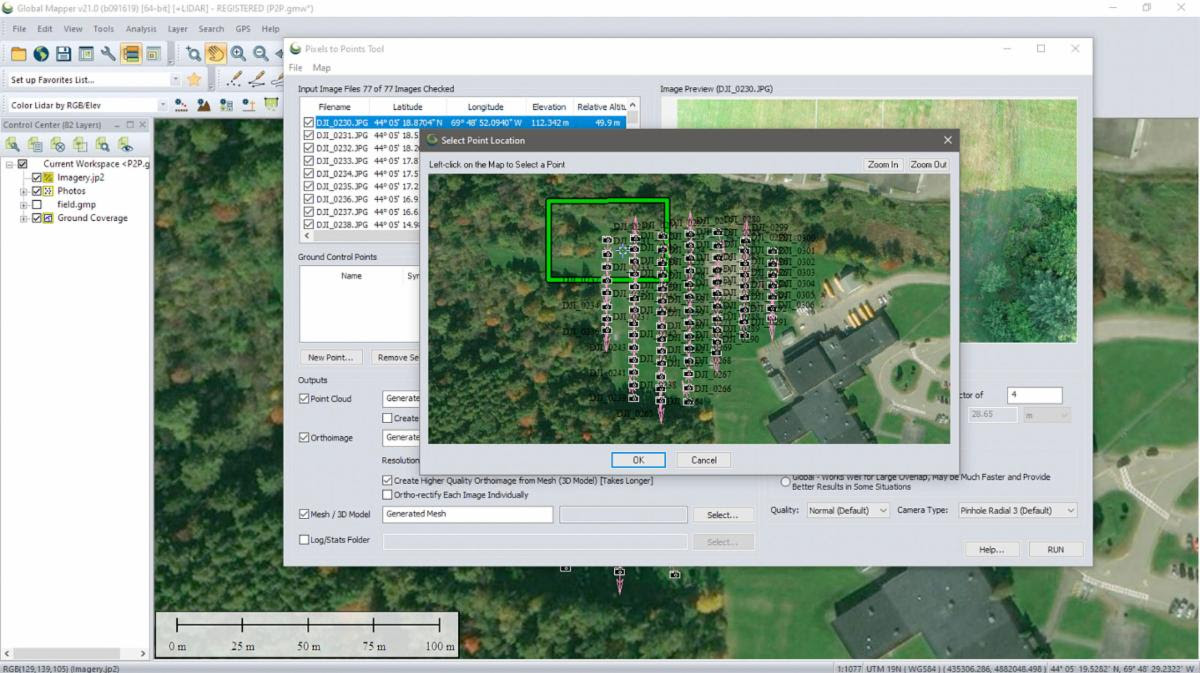
The latest version of Blue Marble Geographics’ advanced point cloud processing tool, the LiDAR Module, is now available. Released in conjunction with version 21 of Global Mapper, the company’s popular GIS software, the updated LiDAR Module introduces new and improved functionality throughout the application. These improvements include numerous enhancements to the Pixels-to-Points tool for photogrammetric point cloud generation from UAV or drone images.
この情報へのアクセスはメンバーに限定されています。ログインしてください。メンバー登録は下記リンクをクリックしてください。