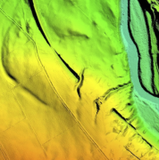
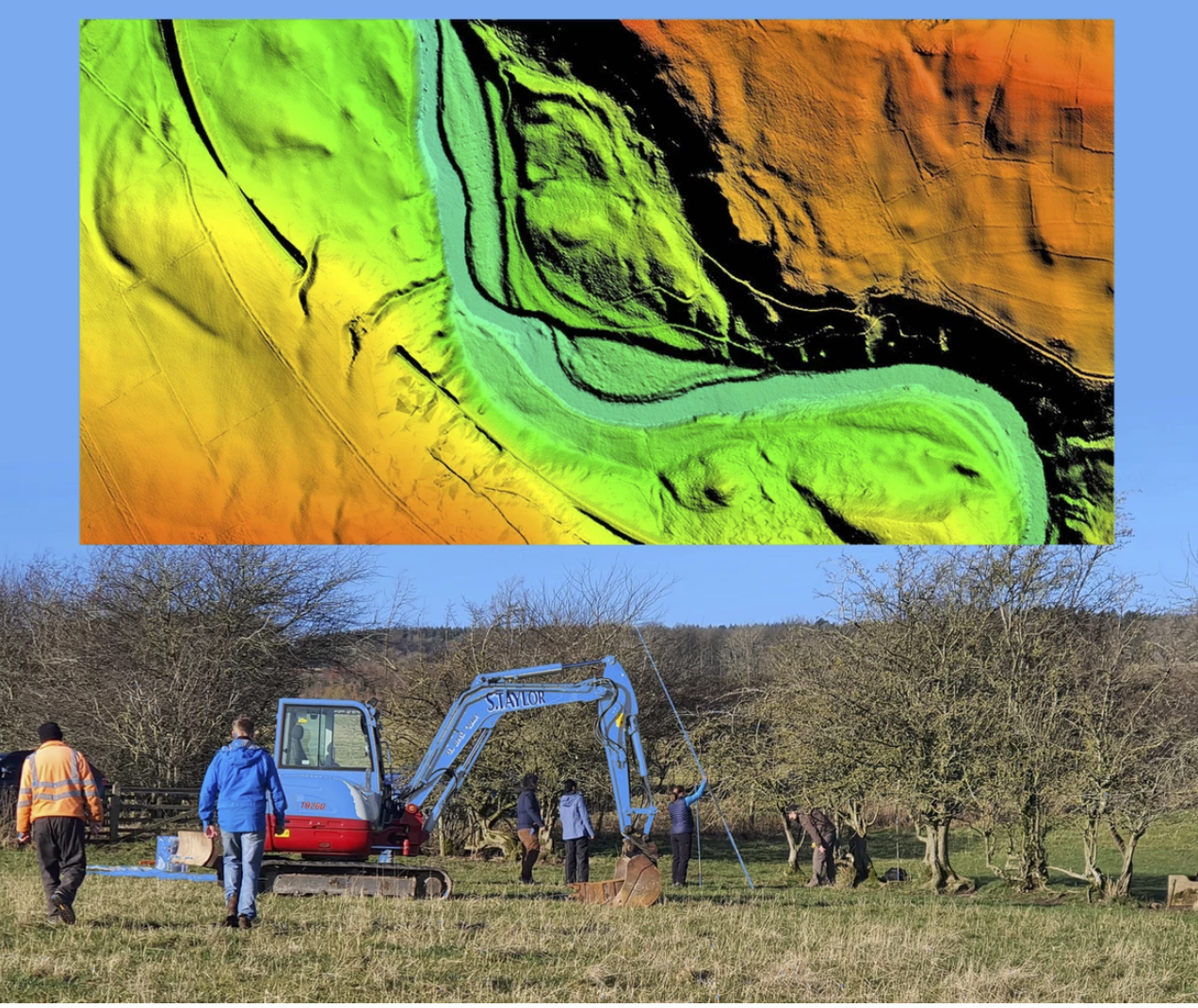
A new government funded project is using LiDAR data captured by aerial survey and mapping company, Bluesky International to identify areas of hedgerow and subsequently the amount of carbon captured by hedgerows, enabling landowners to claim correct levels of carbon credits.
この情報へのアクセスはメンバーに限定されています。ログインしてください。メンバー登録は下記リンクをクリックしてください。