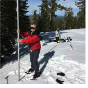
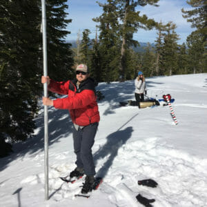
Many Western communities rely on snow from mountain forests as a source of drinking water – but for scientists and water managers, accurately measuring mountain snowpack has long been problematic. Satellite imagery is useful for calculating snow cover across open meadows, but less effective in forested areas, where the tree canopy often obscures the view of conditions below. Now, a new technique for measuring snow cover using a laser-based technology called aerial lidar offers a solution, essentially allowing researchers to use lasers to “see through the trees” and accurately measure the snow that lies beneath the forest canopy.
この情報へのアクセスはメンバーに限定されています。ログインしてください。メンバー登録は下記リンクをクリックしてください。