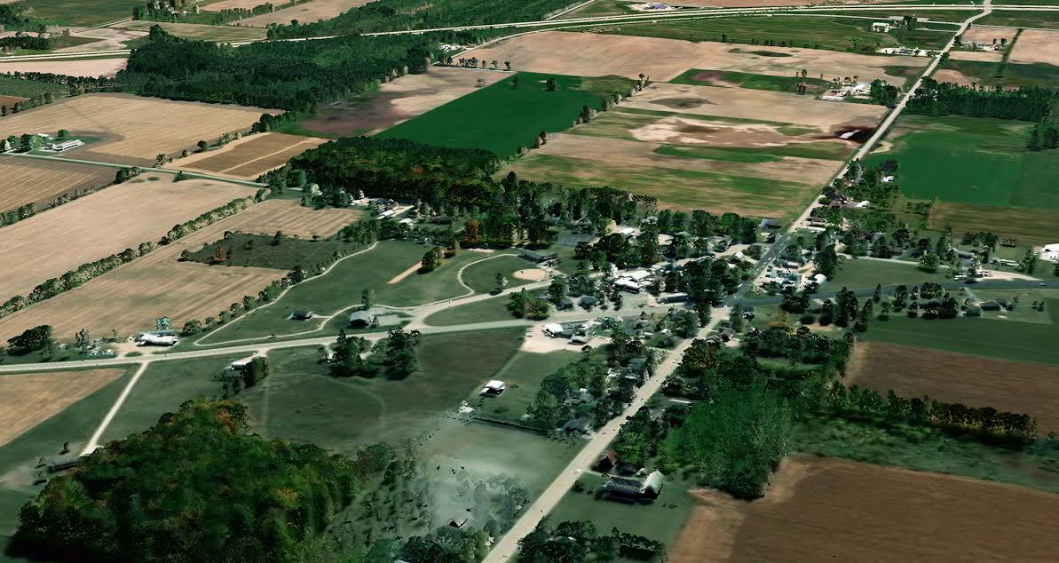
St. Petersburg, Florida – August 21, 2018 – Quantum Spatial, Inc. (QSI), the nation’s largest independent geospatial data firm, announced that it is currently working on more than two dozen Lidar collection projects designed to address the country’s need for high-quality topographic data in support of the U.S. Geological Survey (USGS) 3D Elevation Program (3DEP) program. 3DEP, which provides matching federal funds for large-area Lidar collections that benefit multi-agency groups with common geospatial needs, will open its application process on August 31, 2018, with a Broad Agency Announcement (BAA) for fiscal year 2019. Proposals will be due by October 26, 2018.
Since inception of the of the 3DEP program, QSI has worked with a diverse range of public agencies and private sector organizations seeking federal assistance to finance Lidar collections. In addition to providing Lidar survey and data analytics services, QSI also has fostered coalition building among disparate groups that have Lidar needs in the same geographic area, and provided guidance and support for project justifications, shared cost models and project specifications.
この情報へのアクセスはメンバーに限定されています。ログインしてください。メンバー登録は下記リンクをクリックしてください。

