The lightest, most accurate and cost-effective UAV LiDAR system in its class.
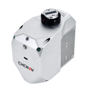
CHC Navigation (CHCNAV) announced the release of the AlphaAir 450 (AA450) LiDAR system. The AlphaAir 450 is a very lightweight and compact all-in-one sensor. Featuring internal IMU, GNSS, 3D scanner and camera, the AlphaAir 450 solution is widely used for power line inspection, topographic mapping, emergency response, agricultural and forestry surveys, and more. The unit is easy to use, and it is allowed for rapid deployment in the field.
この情報へのアクセスはメンバーに限定されています。ログインしてください。メンバー登録は下記リンクをクリックしてください。