日本語で読みたい方は、 google chromeで開いて、
画面上で右クリックをして
「日本語に翻訳」をクリックしてください
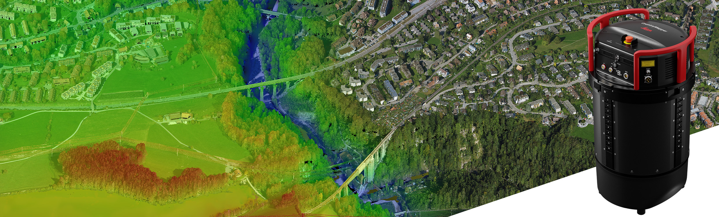
Bringing unprecedented efficiency and data quality to large-area aerial data collection
(Heerbrugg, Switzerland, June 13th 2023) –
Leica Geosystems, part of Hexagon, introduces the Leica CountryMapper, extending the hybrid sensor portfolio with the most efficient solution for large-area imaging and LiDAR mapping. Combining a large-format photogrammetric camera with a high-performance LiDAR unit into a single system, the CountryMapper collects foundational geospatial data simultaneously, enabling the generation of highly accurate data products to support a wide variety of customer applications.
この情報へのアクセスはメンバーに限定されています。ログインしてください。メンバー登録は下記リンクをクリックしてください。