Leading geospatial technology supplier, 3D Laser Mapping, has helped surveying specialist, NorthGroup Consulting, streamline a highway upgrade in Australia.
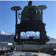
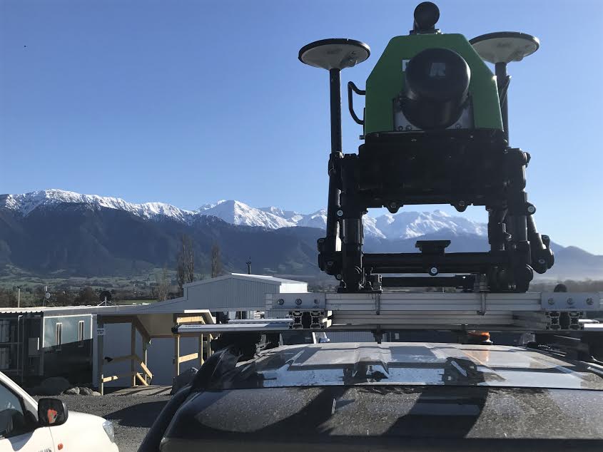
To help plan restoration works, multi-platform mapping system, ROBIN, was used to survey a 15km section of the Bruce Highway on the east coast of Queensland. The data captured provided a highly accurate 3D model of the entire road’s features and adjoining land, as well as the road surface itself.
Following installation and setup, ROBIN was mounted on a vehicle and deployed in under ten minutes. Driving at the same speed as normal road traffic, NorthGroup was able to capture the data from the safety of the vehicle, with no detriment to other road users, in 7hrs and 45 minutes.
この情報へのアクセスはメンバーに限定されています。ログインしてください。メンバー登録は下記リンクをクリックしてください。