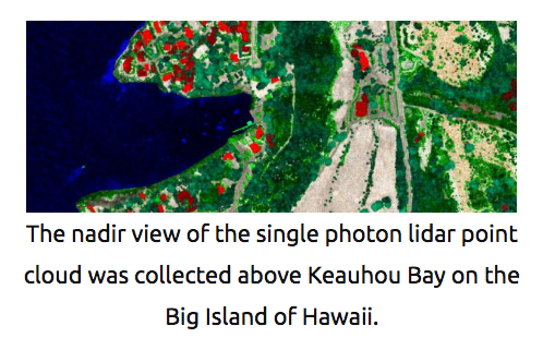
Over the last 25 years, the introduction and evolution of lidar to the geospatial mapping community has revolutionized the digital terrain modeling process. Lidar acquisitions, which literally map at the speed of light, allow for a quick, efficient and highly accurate collection of detailed terrain modeling for an increasing breadth of applications.
In the last few years, new lidar technologies have entered the market and offered alternatives to traditional linear mode lidar. Each of these has strengths and weaknesses, and each is best suited to different lidar project environments. The key to getting the most impactful and efficient collection is knowing which mode to use for which project.
この情報へのアクセスはメンバーに限定されています。ログインしてください。メンバー登録は下記リンクをクリックしてください。

