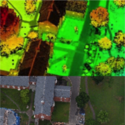
Unmanned Aerial Systems (UAS or Drone) provide an alternative approach to traditional terrestrial and aerial acquisition mapping and ground-based surveys. Picking up where traditional methods of acquisition are limited, such as safety, time, expense, and project site accessibility, UAS unlock new opportunities for acquiring geospatial information via LiDAR and photogrammetry.
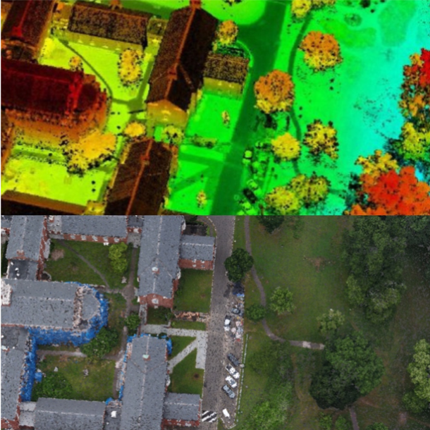 LiDAR and photogrammetric techniques provide integral solutions for customers at ARE-AirShark. Project criteria including environmental conditions, delivery specifications, budgets, and the ultimate purpose of the data collected dictates which application is better suited. Neither LiDAR nor photogrammetry is better than the other, both having their individual benefits in aerial data collection and processing.
この情報へのアクセスはメンバーに限定されています。ログインしてください。メンバー登録は下記リンクをクリックしてください。